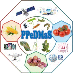
Open data from the field
Photographs taken on farms and multispectral drone imagery of maize, onion and tomato in Burkina Faso, shared for research and for building tools that help farmers manage pests and diseases.
- 25,844raw field images
- 12,227labelled images
- 30classes across 3 crops
- 200+drone surveys of farms
Photographs from farms
Trained extension officers photographed maize, onion and tomato plants in the field using mobile phones. The raw photographs were cropped to produce the labelled images used to train the deep-learning models behind PlanteSaine.
Technicians labelled every image, and the project's entomologist and plant pathologist checked the labels. The photographs were taken in different lighting conditions and against different backgrounds, from white and dark to bright and natural settings, so models trained on them cope with real field conditions.
Dataset details
Dataset name: TOM2024
Crops: tomato, onion, maize
Image size: high-resolution, for example 4128 x 3096 pixels
Published: Mendeley Data, 5 September 2024
What the labelled images cover
Class names in the data are in French. English equivalents are shown here.
Tomato (14 classes)
Pests: tomato fruitworm (Helicoverpa armigera), tomato leaf miner (Tuta absoluta)
Diseases and conditions: viral disease, mites, Alternaria, bacterial wilt, blossom-end rot, late blight, sunscald, nitrogen excess, Fusarium, healthy leaf, healthy fruit
Onion (6 classes)
Pests: caterpillars
Diseases and conditions: Fusarium, Alternaria, viral disease, bulb rot, healthy leaf
Maize (10 classes)
Pests: fall armyworm (and its feeding damage), aphids
Diseases and conditions: maize streak, Curvularia leaf spot, Helminthosporium leaf blight, viral disease, rust, abiotic disorder, healthy leaf
Multispectral imagery of farms
Project teams surveyed maize, tomato and onion farms infested with different pests and diseases, using multispectral drones. Three teams worked at the same time, one in each of the three project regions.
The images were processed into 2-D georeferenced mosaics of the raw bands, and several standard spectral indices were calculated for further analysis: NDVI, LCI, GNDVI, OSAVI and NDRE.
The data are shown on a map with the exact location of each farm surveyed, and a tooltip gives a compressed preview to help you choose. Because the files are very large, a request form lets you ask for the data you need.
Survey details
Seasons: 2022 rainy season and 2023 dry season
Bands: RGB, blue, green, red, near-infrared, red edge
Access: map with a data request form
How to cite
If you use the mobile phone images in your work, please cite the TOM2024 data article.